Ask a local to name a long distance path in Oxfordshire and they’ll probably opt for the Ridgeway. Or perhaps the Thames Path. I’m pretty sure they won’t mention the Oxfordshire Way.
With the shadow of Covid-19 still looming our usual holiday plans were on hold. Instead we followed the stay local advice and decided to walk this lesser known long distance route in our county, the 66 mile Oxfordshire Way, over a series of weekends.
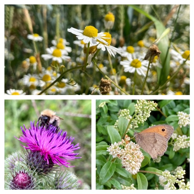
This is not a detailed post with walk directions as Oxfordshire County Council have done this. More a reflection and review of our walk. It’s quite lengthy so grab a cup of tea before you start…
Day 1: Bourton-on-the-Water to Shipton-under-Wychwood (10.2 miles)
Although advertised as the Oxfordshire Way the walk actually starts over the border in Gloucestershire. The tourist honeypot of Bourton-on-the-Water would usually be heaving with tourists but 2020 arrivals are faced with homemade ‘Village closed’ and ‘Keep away’ signs. Despite this the chap in the car park was friendly, and the refreshment stand open. We didn’t linger, for fear of angering the locals, and immediately headed out of the village.
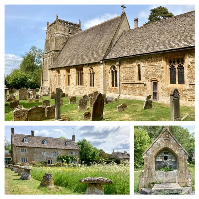
We’d previously walked the first part of the route, out to Wyck Rissington via Greystones Nature Reserve a few years ago. As before, our arrival in Wyck Rissington was accompanied by the wonder of how two Cotswold villages, only a couple of miles apart, could have such different visitor numbers. Wyck Rissington has Cotswold stone houses, wildflower verges and a village pond. But aside from an elderly couple taking a break in the churchyard (where Holst was once the organist) we were the only visitors. The same couldn’t be said for Bourton, even in partial lockdown!
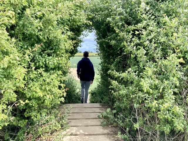
The walk continued, through sheep fields and along the edge of woodland until we reached Gawcombe House. Here we followed a short ‘Covid-19 detour’ implemented to protect the residents. Back out the other side we walked down large rides, surrounded by native hedging, until we reached our lunch time spot.
This is where our plans unravelled. My partner discovered he’d lost his car key! As we were walking a linear route and he’d left his car at the end he decided to turn around and retrace his steps back to Bourton. It was his only key and my mind was working overtime wondering what would happen if he didn’t find it.
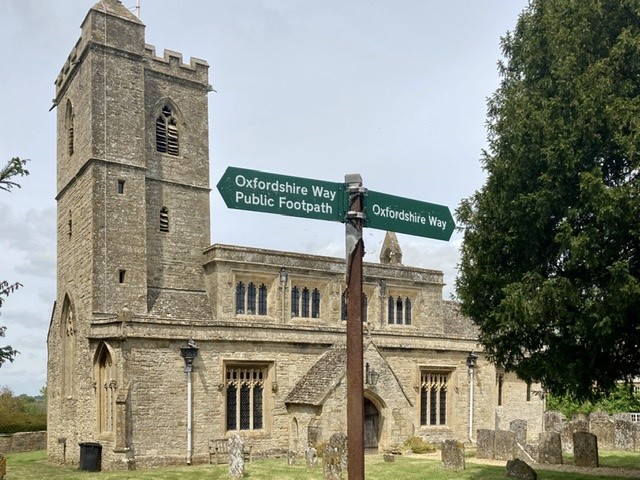
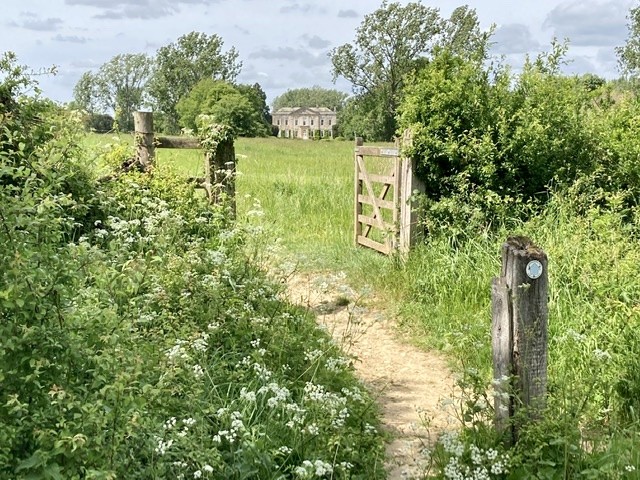
There wasn’t much we could do so my son and I continued on with the planned route. In Bledington we stopped for ice creams at the community shop. We walked through the parkland of Bruern Abbey, and sneaked some views into the garden of the house that replaced it.
My partner phoned shortly afterwards to say he’d found his car key, phew! It had fallen out of his bag into the footwell of my car. There wasn’t time for him to walk and catch us up so he drove my car to our end point.
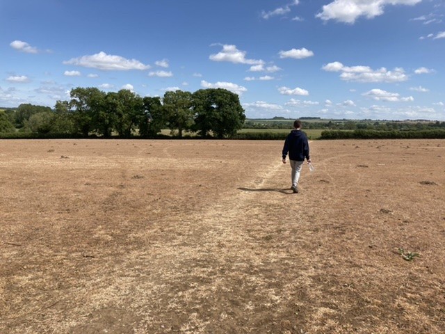
In the meantime we walked through two dead fields. All around us the hedgerows and trees were alive with birds, beetles and butterflies. Yet these fields had presumably been sprayed with herbicide. Not a living thing remained, it was like a scene from Mad Max.
The image of the dead fields stayed with me as we walked down into Shipton-under-Wychwood, our end point for the first day. We swapped stories with my partner who was parked at the railway station. His of relief at finding his key; ours of ice creams and dead fields.
Day 2: Shipton-under-Wychwood to Stonesfield (9.6 miles)
This was one of my favourite days, scenery wise. The path crossed the railway line a couple of times between Shipton and Ascott before loosely following the river Evenlode.
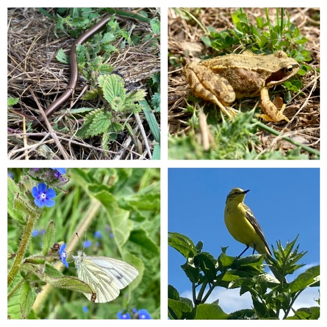
Shortly after leaving Ascott-under-Wychwood we had an incredible close up encounter with a yellow wagtail. It sat on a hedgerow immediately in front of us, chirping away for several minutes, before it eventually flew off. The nature highlight of our walk!
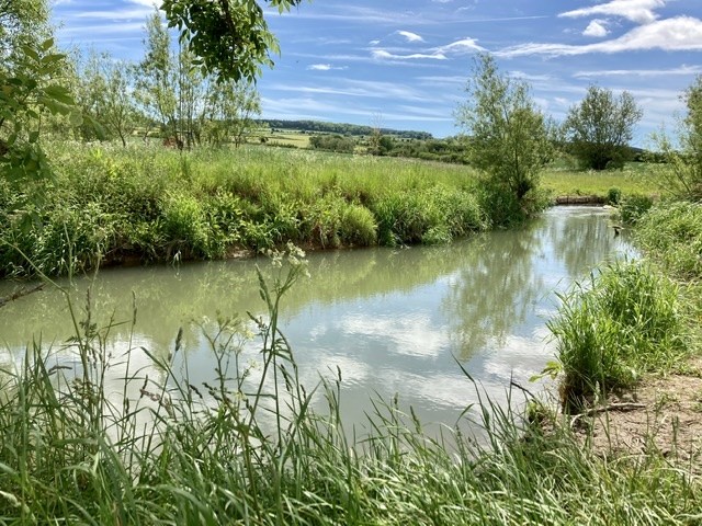
We ate our picnic lunch at a bend in the river (no key drama today), marvelling at the prettiness of the scene in front of us. On the opposite bank a farm worker watered newly planted trees, whilst a short way back others were repairing an old stone walk.
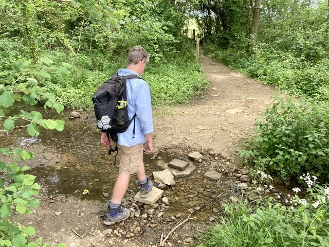
Interestingly, my OS map shows a significantly different Oxfordshire Way route between Ascott and Charlbury. However, my map was printed last century, so we went with the online version instead. I was a little worried when the instructions mentioned crossing a ford, but it was only a couple of centimetres deep.
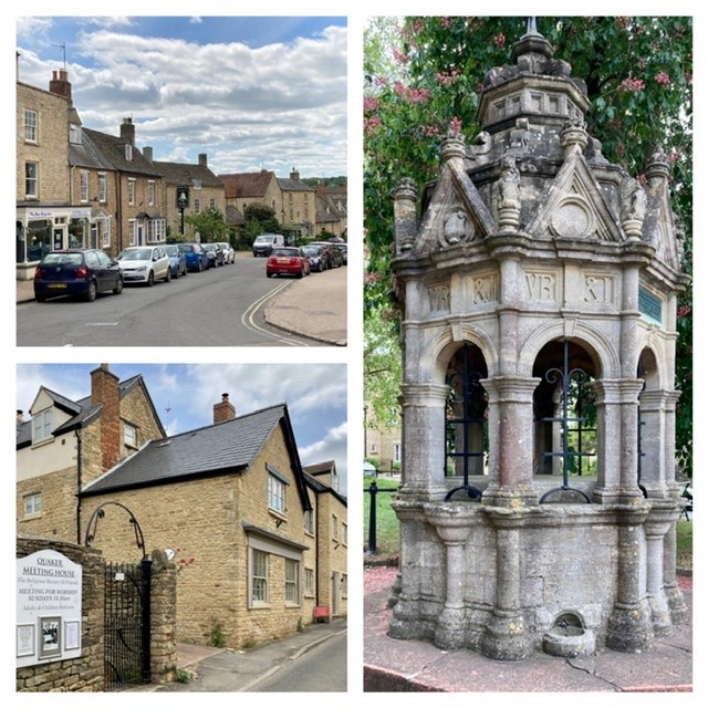
We stopped for an afternoon break in Charlbury, a place I could imagine living in. Cotswoldy but not too touristy. A small town with a lively atmosphere and good transport links. It even has its own Morris dancing group.
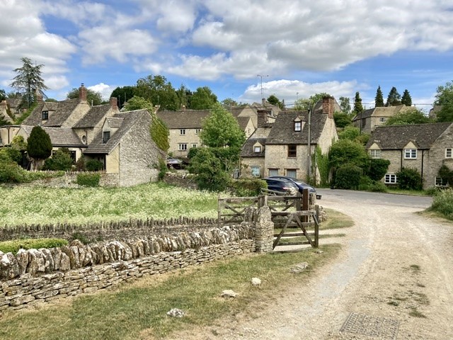
Our second day ended in Stonesfield village. Another place full of Cotswold stone walls, golden houses and gorgeous cottage gardens.
Day 3: Stonesfield to Kirtlington (8.3 miles)
Our third day was a warm and sunny one. Maybe a tad too warm. We left Stonesfield, passing a small bathing area in the river. It was already packed with families, some attempting social distancing, others not.
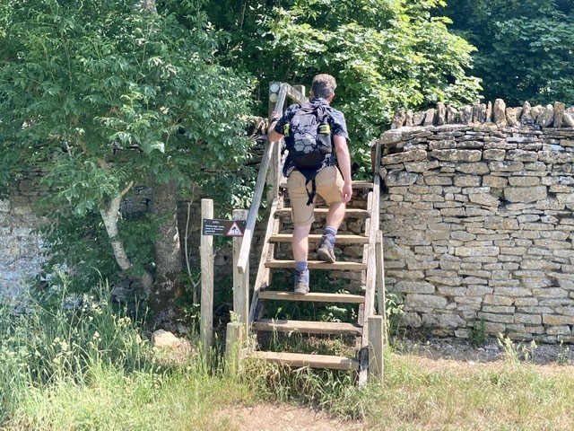
Today’s walk followed six long miles of the Roman Akeman Street. Whilst the Romans built many great things, I’m not so keen on walking their roads. Yes, a straight line is the quickest route, but it’s not the most interesting.
There was a frisson of excitement as we crossed the grand stile into Blenheim Palace grounds. Well, grand on one side; it was broken and falling apart on the other.
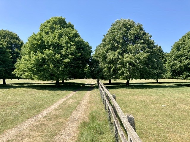
The parklands are huge and primarily consist of sheep fields. At one point we crossed North Drive, the long entrance road with distant views of the palace.
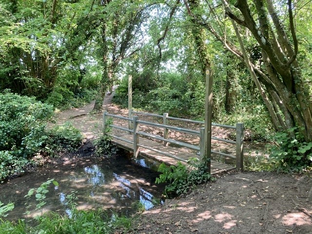
We sat in a wooded area to eat our picnic then left the palace grounds through a door in the wall. It was surreal stepping out beside the busy A44! Safely over the road, we continued once more along our straight Roman route.
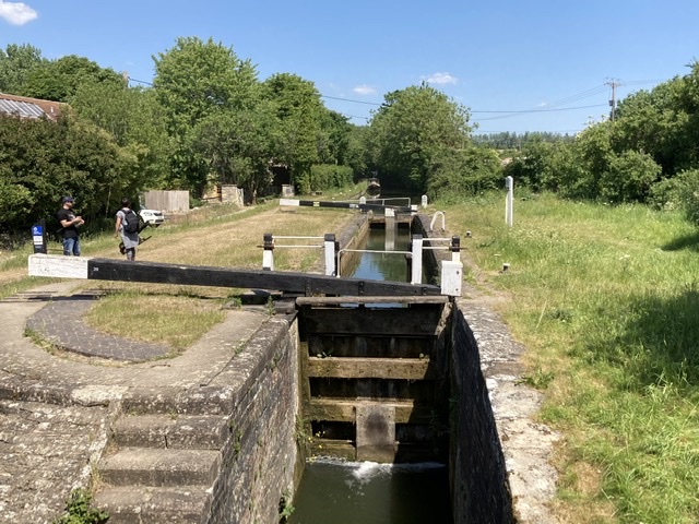
Eventually we reached Kirtlington and things got a little more interesting. We passed Kirtlington Quarry (now a nature reserve) and crossed over Oxford Canal, again another fine spot but heaving with visitors. As our car was in Kirtlington it was tempting to linger in both places, instead I earmarked them for a return visit.
Day 4: Kirtlington to Beckley (9.2 miles)
A flat day, skirting the wetlands of Otmoor. It was also our closest encounter with Oxford.
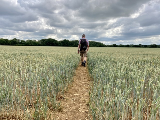
Leaving Kirtlington we walked through parklands, with a distant view back to a grand mansion.
In Weston-on-the-Green we got excited by a shop advertising takeaway coffee. The door was open and the shop assistant watched as we wandered in, picked up some items and took them to the till. It was only then that she said she wasn’t actually open!

Between Weston and Islip the route was, frankly, boring. A long tarmac farm track towards Oddington, followed by field edges. We were kept entertained by a huge number of Meadow Brown butterflies; at one point there were around 100 butterflies in a very short stretch.
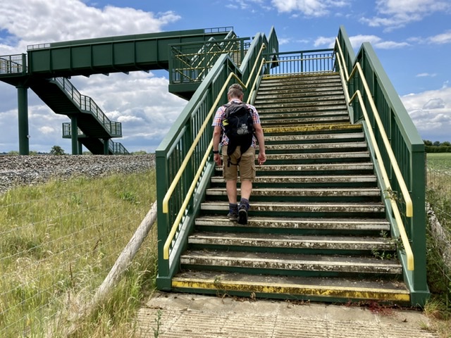
We also discovered the online route notes were a little out of date. The bridge above has been built since they were written so there was no need to take extreme care crossing the railway track. Although welcome, the footbridge seemed over engineered for such a remote location.
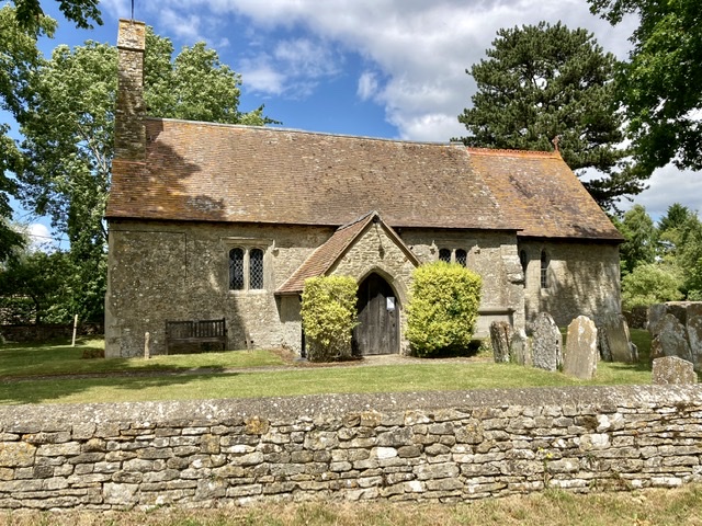
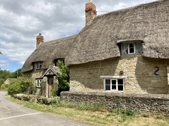
The villages of Islip and Noke provided interest in a day which, for me, was otherwise uninspiring. Islip was the birthplace of Edward the Confessor sometime around 1004. And Noke has lots of lovely cottages to drool over.
The only other excitement was arriving in Beckley and discovering the pub was open for takeaway drinks. Now, if only it had served cake as well!
Day 5: Beckley to Tiddington (9.9 miles)
This being Father’s Day we dragged two teens out of bed early on a Sunday morning to accompany us on this section. They were, as you can imagine, ecstatic. Before we’d even (belatedly) left home I’d shortened the planned route for the day.
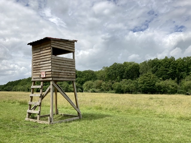
The morning route took us, once more, through meadows of Meadow Brown butterflies. This time accompanied by some early Marbled Whites. It was a day of fields (some with cows), stinging nettles and an incidence of fly tipping thrown in.
Our Father’s Day picnic stop was an elaborate affair with fruit kebabs, sausage rolls and chocolate cookies accompanying the usual sandwiches. It took a while to find a suitable picnic spot so youngest teen nearly died of hunger in the hour before we ate it.
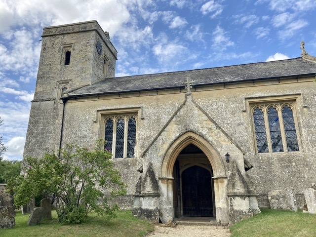
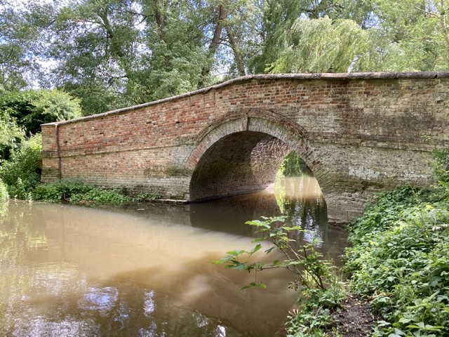
The afternoon walk provided more scenic variety. Certainly more cows and bulls, some gorgeous houses and a picturesque bridge. We also passed the second golf course of the day, this time dodging balls as we walked across the fairway.
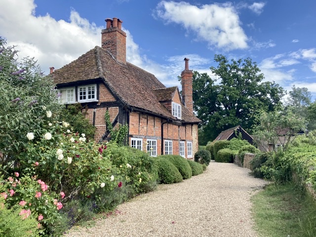
Once again we had a couple of minor route finding issues, primarily on the golf course. Plus a self imposed diversion to avoid a field of cows, calves and a bull. I was grateful I’d bought my OS map.
The teens even survived a whole day in each other’s company!
Day 6: Tiddington to Pyrton (9 miles)
This was the most interesting day since leaving the Cotswolds. From Tiddington it was a mile or so to the Rycote Estate. The estate owners were keen to warn us about snakes, but given the abundance of Private signs I wondered whether it was just a ploy to ward off walkers.
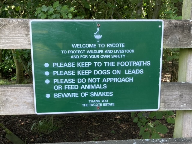
On the other hand, Rycote Chapel welcomes walkers. As long as you arrive between 2-6pm on a Friday, Saturday or Sunday in summer. Sadly that ruled us out but we were still able to follow the Oxfordshire Way through its grounds.
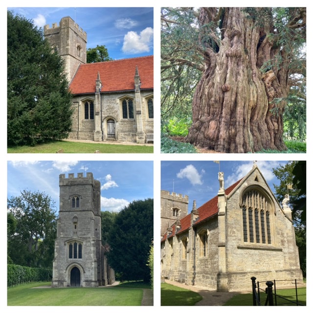
The photographs of the chapel interior look incredible, with lots of carved and painted woodwork. As well as the chapel there’s an ice house and a huge yew tree planted to celebrate the coronation of King Stephen in 1135. No wonder it’s so big!
After leaving Rycote we walked through more woodland, again liberally scattered with Private and Snake Warning signs. Disappointingly we didn’t see any snakes.
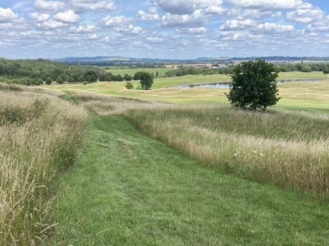
We crossed yet another golf course, but this was different to the others. Whilst the greens were manicured they’d left swathes of uncut grass and flowers. These were alive with butterflies, grasshoppers and bees. So good to see.
We had a map reading moment around the back of the club house and it took us a while to find the correct route (not helped by a relatively newly built solar array). Footpath found, we stopped for lunch beside a field near Tetsworth. We sat under the only shade we could find and ate to the chirping of grasshoppers.
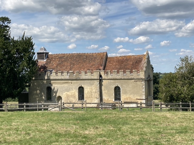
Our afternoon route took us under the M40, along the edges of arable fields, towards the Chilterns. We passed Wheatfield, a deserted medieval village. The manor house burnt down in 1814, and all that remains of the village now are the coach house, outbuildings and St Andrew’s Church. The church stands alone in the middle of a field. We should have made an effort to walk across the field to visit it but our legs wouldn’t move in that direction. Instead they took us on, passing Model Farm, to reach our endpoint at Pyrton.
Day 7: Pyrton to Henley-on -Thames (10.3 miles)
Our last day of the Oxfordshire Way. The most scenic, busiest and hilliest day of the route. That said, the day started with a flat tarmac section, out of Pyrton, across the Ridgeway and up into the Chiltern Hills.
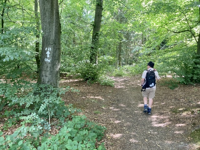
After climbing Pyrton Hill we were treated to a succession of woodland walks, stretching from Christmas Common to our lunch spot near College Wood.
We ate our sandwiches in a field near Hollandridge Farm, surrounded by grasshoppers and butterflies. We had an exciting fly-by from a Clouded Yellow butterfly, my first ever sighting. I spent a fruitless few minutes trying to photograph it but it was determined not to land anywhere for more than a second.
After lunch there was more woodland. Our nature bounty continued; we saw fungi, woodpeckers and several slow worms under a sheet of plywood.
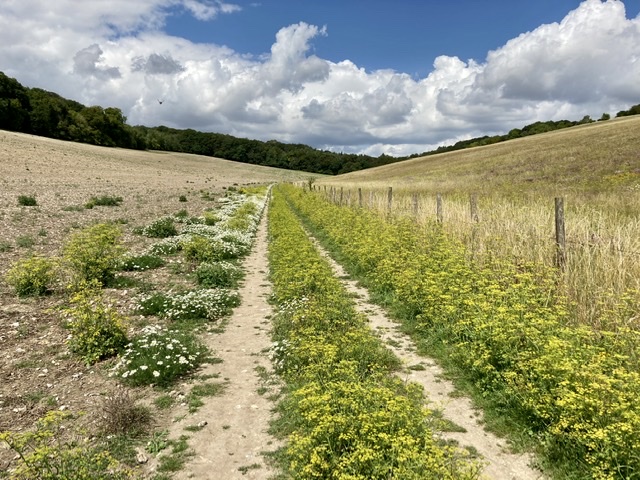
We also saw loads of walkers. Probably double the number we’d seen over the rest of the walk combined. The Chilterns are great walking territory and the hills result in some lovely views (and thumping chests).
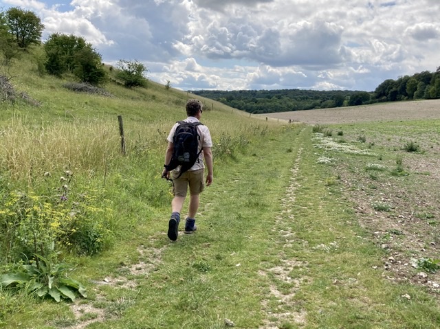
On to Pishill. I still don’t know the correct way to say it. Although I think my version probably isn’t appropriate.
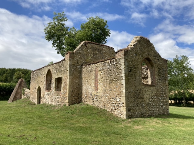
At Bix Bottom we discovered the ruins of St James church. I knew of its existence but hadn’t realised I’d driven past it many times whilst on the way to Warburg, the nearby nature reserve. It’s amazing the things you discover on foot. After Bix it was another mile or so along a tarmac road before our final hill of the day, and indeed the whole walk.
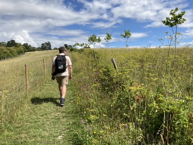
It was weird walking into Henley-on-Thames to finish. The town was packed with day trippers. We strode across the bridge over the Thames, dodging ice cream wielding tourists, to the end point of the walk (the junction of the Thames Path). But perhaps we got it wrong, as there was no celebratory signpost or even an everyday Oxfordshire Way marker. Never mind. We’d finished and it was time for an ice cream!

Hello Christine, it’s been a while since we had a decent length walk so it was nice to follow yours!
I do love the quaint looking buildings and it is nice to see thatched roofs although I’d be petrified to live in one as I enjoy a wood burner for heat… It is sad when our offspring no longer want to walk like they once did, but on the upside, it’s cheaper when you do discover a cake shop… Maybe the lady shopkeeper was frozen in fear when you entered her shop? Fancy letting you pick up bits and then tell you she’s closed?… I hate it when I see areas obviously sprayed with nasty chemicals, I see it in the hills here and it gets me mumbling. This year I have noticed a distinct lack of snakes and the big spider webs I usually see this time of year and I honestly put it down to the locals having had more time to spray during lockdown which I find sad… I can’t think of any other way to say Pishill other than Pishill (I did splutter my tea a little as I imagined the offence it may cause in today’s overly sensitive society). The wildlife on your last leg would have had me squealing with excitement. My husband says it’s the only time I get excited… Enjoy the rest of your summer.
xx