A teacher at secondary school introduced me to orienteering, a sport which combines cross country running with navigation skills. In the intervening years I’ve dabbled with it a few times, but have never been seriously involved with the sport. However, after taking part in a “Try Orienteering” event recently I’ve remembered just how much I enjoyed it all those years ago! It’s a great way to get outdoors, and as there are courses available for all abilities it’s a sport the whole family can take part in.
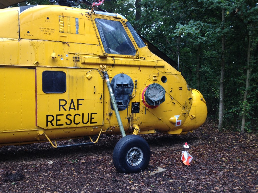
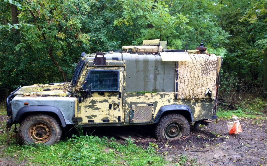
Courses are often set in woodland areas, although you’ll also find them in parks and around towns. My event, organised by Thames Valley Orienteering Club, took part at a location used for outdoor laser quest so there were some interesting additions to the usual woodland scenery, namely helicopters, rockets and old jeeps!
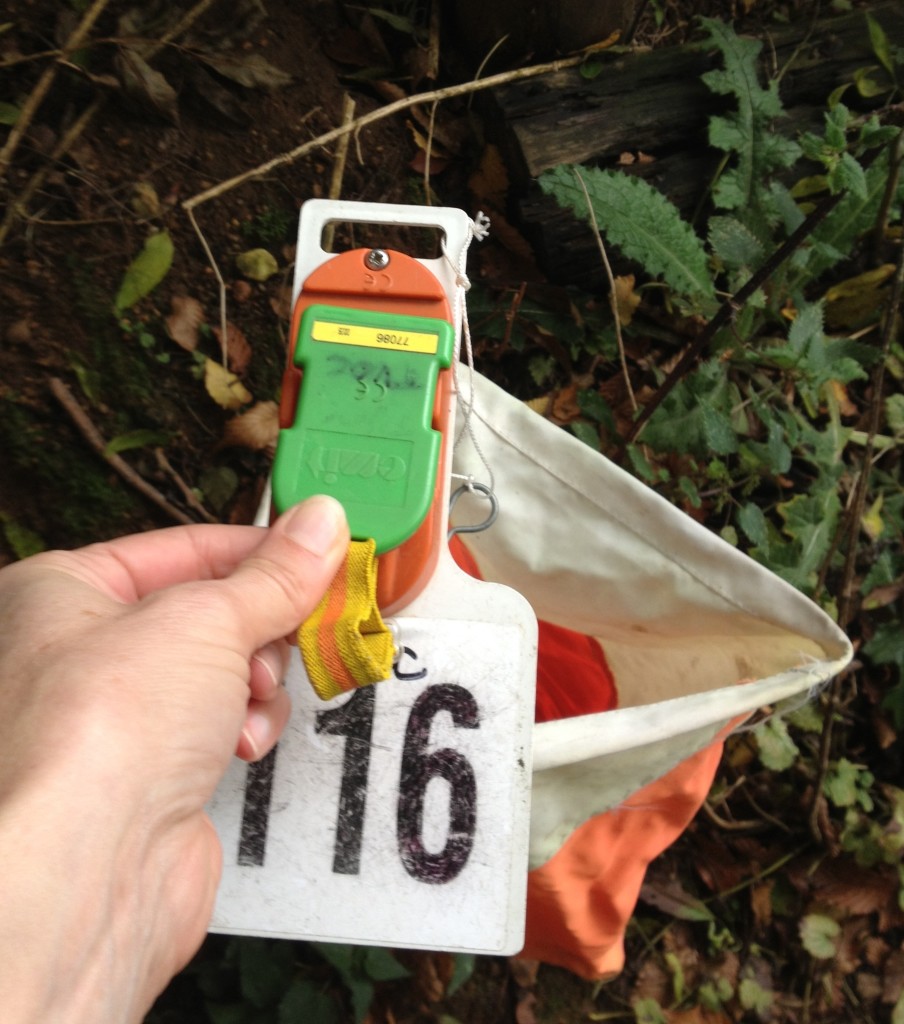
Orienteering courses can be permanent or temporary for one-off events. Either way, the aim is to navigate your way around a set of controls marked on a map in the quickest time possible. Controls are marked with orange and white flags or wooden posts on permanent courses. You record you’ve found each one by either clicking with an electronic timing chip (dibber) or writing down the letters on the posts.
Upon arrival at the orienteering event you need to register and choose which course to complete. You’ll receive a pre-printed map for the course you’ve chosen and a list of control descriptions. The courses are colour coded to indicate difficulty, ranging from white (easiest) through to brown (challenging and long). For a beginner family group I’d suggest starting with a yellow course; these are usually up to 2 km long and the controls are located in obvious locations along tracks. At beginner events you’ll find plenty of club volunteers to help you choose a course and decode the map.
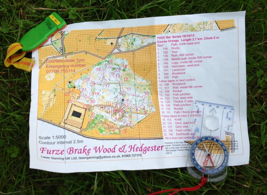
As you’ll see from the picture above, the map looks nothing like an OS map as the scale, colouring and symbols are all different. Most walking OS maps are 1:25000, orienteering maps are much more detailed and have a scale of 1:5000 or 1:10000. If you’re used to walking maps this can mean you sometimes travel much further than you need to, at least until you get used to them.
The colours indicate how easy or hard the terrain is to cross – yellow and white are easy but avoid dark green areas unless you fancy fighting with dense vegetation! The map symbols are more detailed than usual with, for example, icons to represent pits, tree trunks and telegraph poles.
You should visit the controls in the correct order. The control descriptions on the map give you an extra clue to help you find them, for example “north side of path”. Before clicking your dibber on the control double check that the numbers or letters match those on your map. If you register at the wrong control you’ll be disqualified!
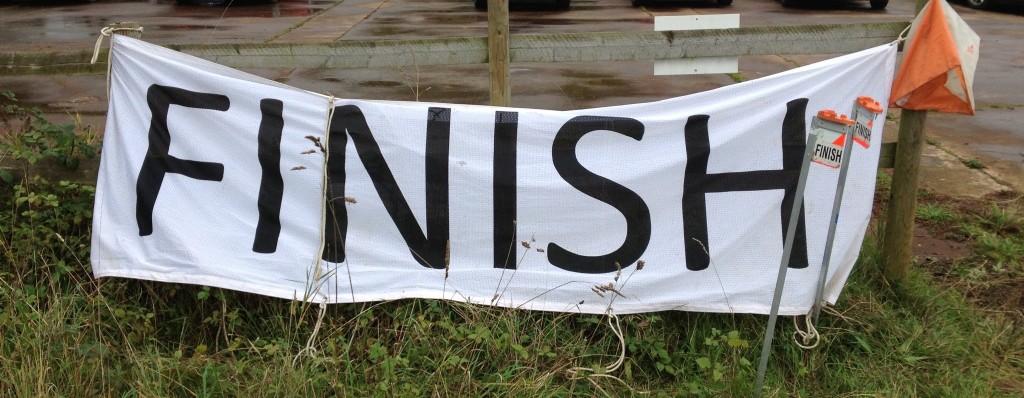
At the finish it’s important to check in at the final control, and then hand back your dibber. You’ll usually be given a print out of your results and can check your placing on the relevant club website later in the day.
So how was my course? I had a great time completing it, although couldn’t find one of the early controls which was rather annoying. Even more so when I eventually located it and realised I must have been near enough standing next to it about 10 minutes previously. I also realised how tricky it can be running whilst negotiating fallen branches, brambles and muddy spots. I was very glad I’d worn old clothes!
More info
- To learn more about orienteering visit the British Orienteering website.
- There are orienteering clubs all over the UK. The event I attended was run by TVOC, details of their further events can be found here.
- Permanent orienteering courses are usually administered by the local orienteering club. Maps can usually be obtained from the club, visitor centres or sometimes downloaded off the internet. A list of courses can be found on the British Orienteering website linked above.
Cost
- Fees vary between events. I paid £5 for the entry above, children were £2. This covers the purchase of the map and rental of the dibber.
- You don’t need any special gear to take part, just old trainers and long sleeved clothes. Once you progress onto the harder courses you’ll need to buy a decent compass, these cost around £20.
Sounds great. Would like to give it a try when the children are a little older.
#PoCoLo
Thanks Karen. Some of the events have a string course for the youngest children, this is a piece of tape wound through the woods that toddlers can hold onto and follow.
I have never done this but i looks fantastic x
Thanks, it’s great that you can do it with the kids.
I’ve always wondered about orienteering and this looks great! What a fantastic post 🙂 Thanks for linking to PoCoLo x
Thanks Victoria, it’s a great activity for getting kids into.
Thank you for this information as my son loved doing this for his Duke of Edinburgh so shall look into it for him. I remember that I loved it when I was a kid.
Glad it was useful!
Our children would love this course, what a great venue and such good fun for the whole family. Thanks for linking up and sharing with Country Kids.
Thanks Fiona, it was certainly a course with some added interest for kids.